
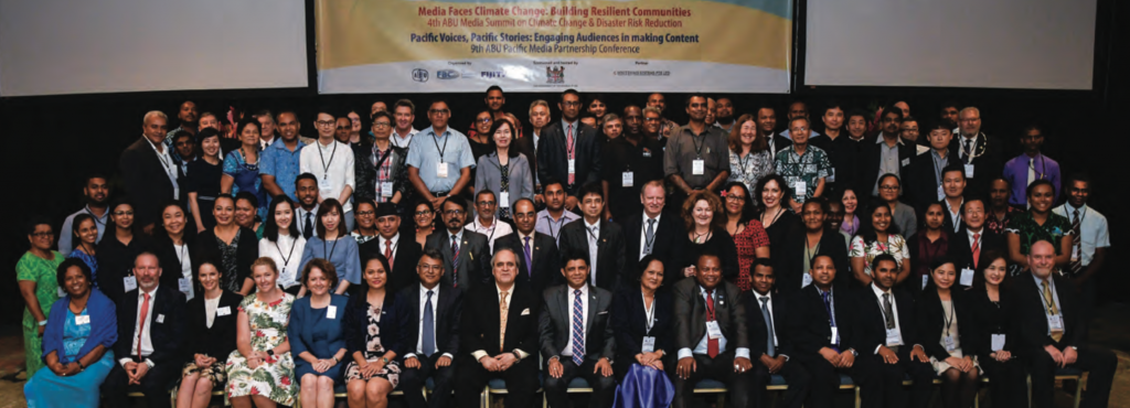
9th ABU Pacific Media Partnership Conference
– Human Friendly Broadcasting
By Martin Hadlow, Independant Media Consultant
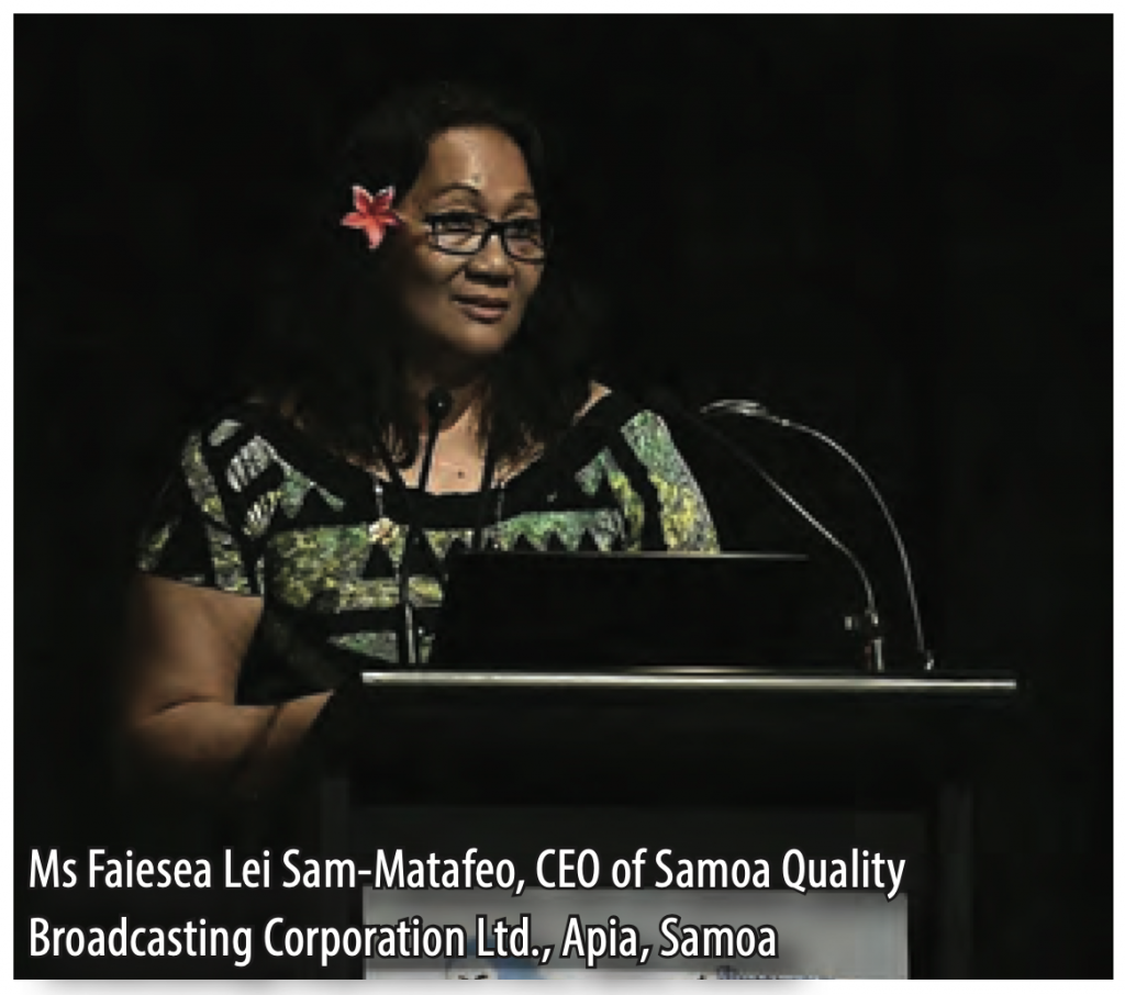
In opening the PMPC 2018 conference, the PMPC Chairperson, Ms Faiesea Lei Sam-Matafeo, CEO of Samoa Quality Broadcasting Corporation Ltd., Apia, Samoa, called for a sharing of knowledge as Pacific broadcasters were keen to learn from their “big brothers”.
The following session fed directly into that request, with ABU member NHK, Japan offering an insight into the new generation ‘smart production’ possibilities afforded by Artificial Intelligence. “Broadcasting is about to change” a senior NHK expert told the gathering. He then demonstrated software for “human friendly broadcasting” which provides special programme possibilities, such as converting audio to on-screen messaging for the hearing impaired, and for computer-generated sign-language.
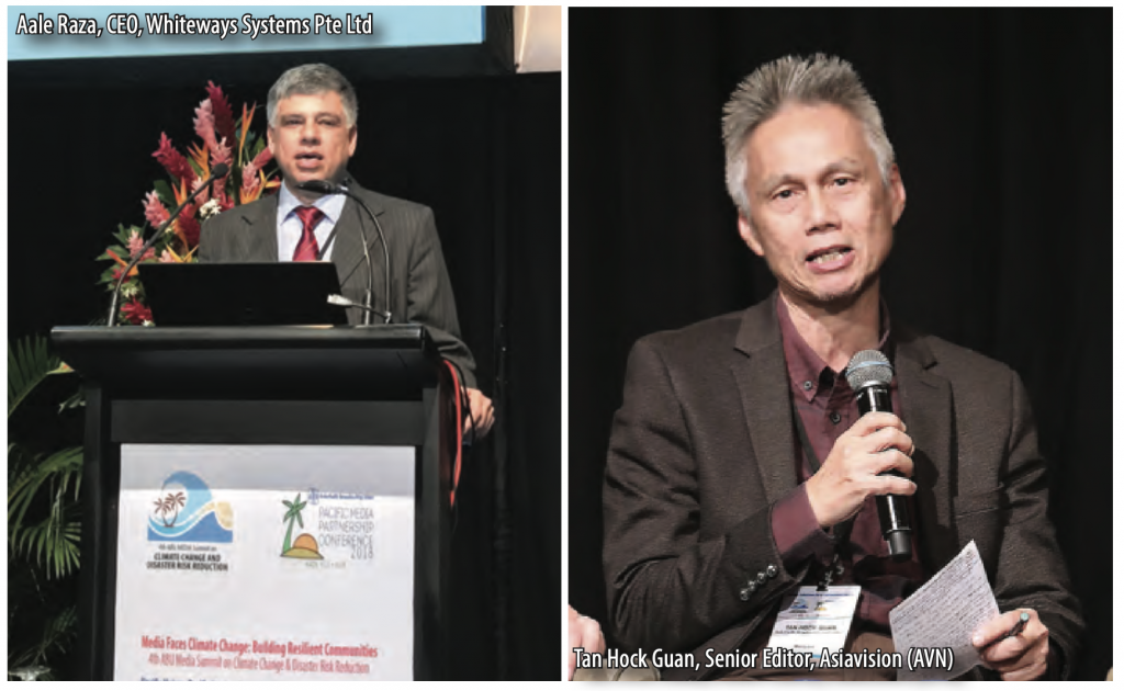
Technical issues which will affect Pacific broadcasting organisations as they face the move from analogue to digital technologies were highlighted by an engineering specialist from RFS Ltd. (Australia), a conversation which led to an overview, by a Singapore- based firm, Whiteways, of how smaller broadcasters could access a digital dividend in delivering production outcomes. The CEO of Samoa TV took the discussion into the practical sphere with an explanation of how a TV station with only limited resources in a small viewing market could still make a difference and provide a community with the services it needs.
The first day of the PMPC concluded with a panel discussion of speakers, chaired by Dr Amal Punchihewa – the ABU Technology Director, from Fiji, Singapore, Samoa and Australia which called for Pacific broadcasters to work together in furthering radio and TV services and suggested ‘soft loans’ from banks to assist with the financial challenges being faced. The session also provided tangible potential solutions in areas such as programme purchasing, a particularly cogent issue in a geographical region where funding is rarely available to buy top-rating international programmes or the rights to overseas sporting events.
However, within the plethora of topics on modern technologies, a call was made to ensure that Pacific broadcasters continued to provide “a voice for the voiceless” in relevant local languages, especially for women and disadvantaged communities living on remote islands and still relying, primarily, on shortwave or AM radio for news, information, education and entertainment.
 ‘What do broadcasters need and what is available to assist them’, was the key theme of the opening session of the second day of the PMPC, with delegates from Fiji, Solomon Islands, Papua New Guinea, Samoa and France all making interventions to emphasise their specific situations.
Common calls to the ABU were for the provision of television programmes and ‘live’ sporting content, access to the Asia- Pacific ASIAVISION News exchange, and in-country training in a range of fields (such as scripting and producing TV drama). The ABU Secretary-General, Dr Javad Mottaghi, assured the conference that the organisation stands ready to provide exactly this assistance to all members on request.
Given the range of cultures pertaining in the broader region, the word ‘diversity’ has no direct translation in many local languages of the Pacific. Existing societal mores, familial structures and traditional practices all provide challenges for broadcasters in ensuring diversity in both programme content and in internal organisational staffing. A range of inclusion and human rights specialists from Fiji, New Zealand and Australia provided the conference with the current ‘best practices’ and knowledge in the field, while recommendations were also made for model frameworks which could be instituted. In insisting that, after decades of discussion, it was now “time to walk the talk”, one speaker noted that this was important “because evidence shows there is positive growth when gender diversity is part of the corporate management mix”.
The PMPC 2018 reached out strongly to young people through various relevant sessions, including a presentation on the ABU’s ROBOCON competition for students (to be held in Fiji in the year 2020), and a major showcase devoted to the video production work of students through a regional project known as ePOP, a Pacific youth dialogue on climate change. With representatives present from France, New Caledonia, Vanuatu, Fiji and Samoa, video presentations showed young people interviewing their elders from various Pacific nations. With climate change now affecting the sea levels of many countries, causing land inundation and sweeping away fresh water and food sources, one elder plaintively contemplated the immediate future with the query “Will we be able to live in this environment?”
In concluding the conference with the adoption of a Fiji Action Plan, the PMPC 2018 delegates undertook to return to their countries and carry forward the spirit of the conference through the on- going production of informative and high-quality radio/TV programmes and social media postings, thus bringing the challenges of climate change, environmental pollution and disaster mitigation to the urgent attention of wider national audiences. With the prospect of shards of floating plastic out- numbering fish in the oceans of the world by the year 2050, there is not a moment to lose.
PACIFIC ISLANDS HIGHER OR LOWER?
Just how far above sea level is the land on small Pacific islands and atolls? That was one of the intriguing questions raised by a scientist at the recent 4th ABU Media Summit on Climate Change and Disaster Risk Reduction held in Nadi, Fiji.
Dr Ben Strauss, Vice-President for Sea Level and Climate Change Impacts at the Climate Central organisation in the USA, said that most Pacific islands had not been mapped accurately for elevation. He noted that the majority of current calculations of the sea level of Pacific islands (especially in particularly remote areas) had been made from satellite data. However, this data might often not be accurately analysed, as satellite pictures accessed by scientists and geographers could be distorted by tree tops (such as tall coconut palms), hills and small mountains which may be covered in large areas of vegetation.
In a session devoted to the communication of scientific data by broadcasting organisations to their radio and TV audiences, Mr Ravind Kumar, Director of Meteorology of the Fiji Government, Mr Matthew Park, CEO of EMTV in Papua New Guinea, and Ms Tantri Relatami of the Board of Supervisors, Radio Republik Indonesia, all provided practical examples of how their institutions made available understandable and vital scientific information to their listeners and viewers.
Session speaker, Dr Gretchen Kalonji, former UNESCO Assistant Director- General for Natural Sciences and now Dean of the Sichuan University- Hong Kong Polytechnic University Institute for Disaster Management and Reconstruction in China, called for more positive collaboration between university schools of journalism and science departments. She said that this would better enable people from both bodies to understand how best to simplify complex messages and more accurately communicate scientific information on climate change and disaster risk reduction.
Dr Kalonji reminded the conference that journalists and scientists have the same professional ethos, namely “to uncover the truth and reject falsehood”.